Tag Archives: Church Road

260 Church Road

Single storey factory on east side of Church Road on north side of corner with Hawthorn Avenue.

From comments on the Mitcham History Group on Facebook, it was originally part of a paint and varnish factory and later was occupied by Ashbourne Surgical during the 1980s, Adroit engineering, Catlin engineering, joiners and printers.

Planning permission 16/P2971 submitted 31st August 2016 to demolish it and build a block of flats.

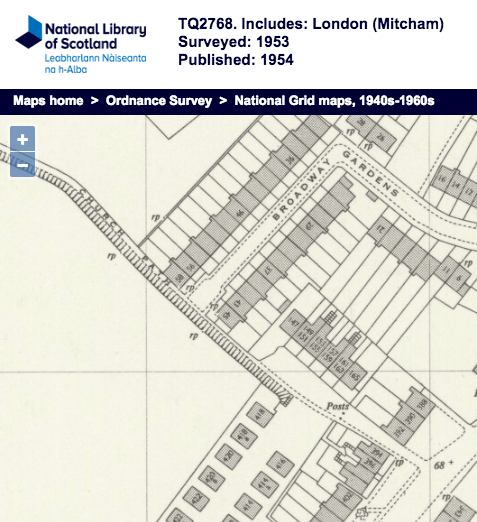
On this 1952 OS map, the building is shown as Scientific Instrument Works.

1952 OS map

1952 OS map

aerial view of factory

aerial view of factory


Maps are reproduced with the permission of the National Library of Scotland.
Church Path

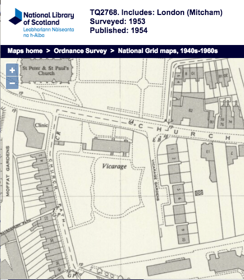
Road to south of Church Road, opposite the parish church. On the west corner is a disused building called La Sport Community Centre. It was originally built around 1937 as the Church Road Welfare Centre.

1953-os-map-church-path-left

1953 OS map

On the west side of the road, leading south from Church Road are two terraces of houses : John’s Place and Maple Terrace.

At the southern end of the road there is a footpath, of the same name, that heads south east towards London Road, where it is a road again, with houses on its north side.

1953 OS map

1953 OS map