Cul-de-sac off the east side of Baker Lane. Possibly built between 1925 and 1932, as there is no entry in the 1925 street directory and the road is shown on the 1932 OS map.
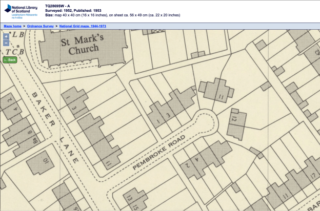
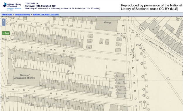
1952 OS map reproduced by permission of the National Library of Scotland, reuse CC-BY (NLS)
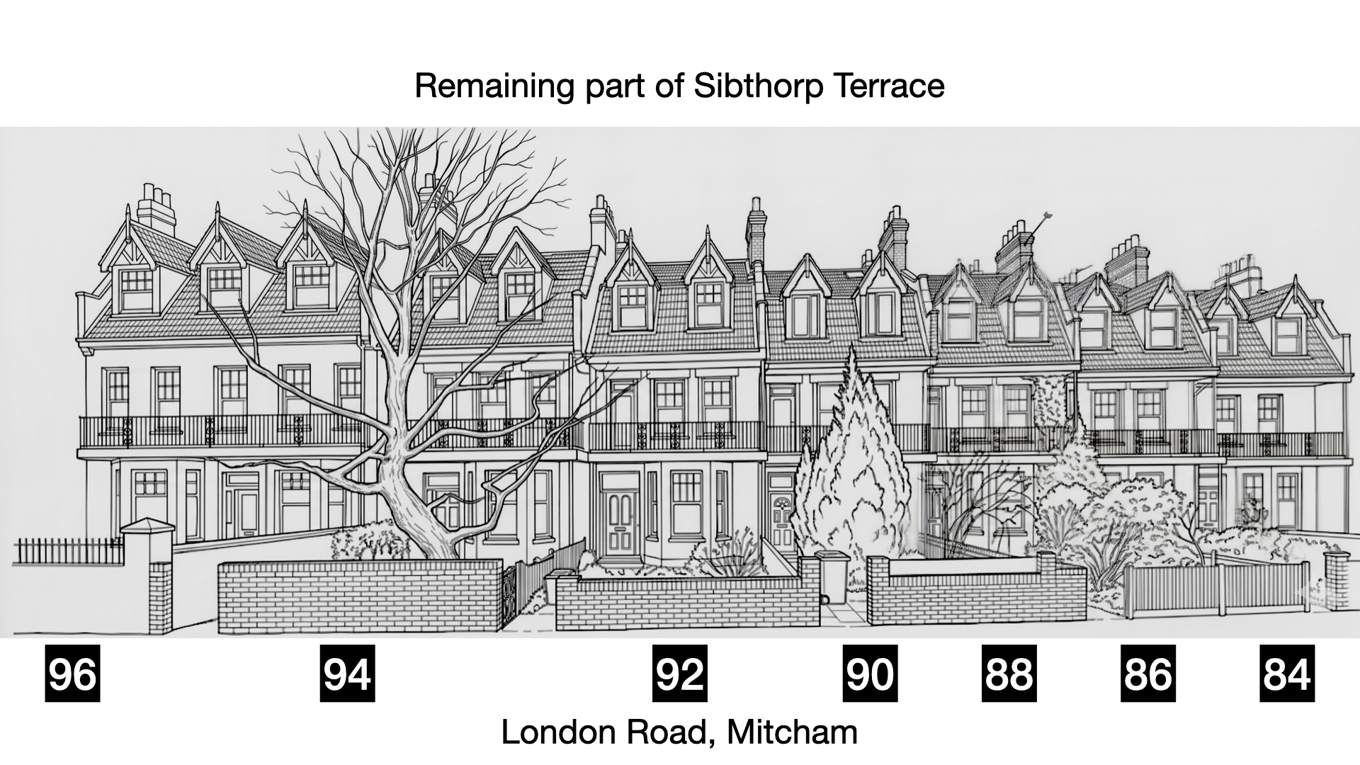
There are 12 houses which are numbered odd on the left from 1 to 11, and even on the right from 2 to 12.
On 18th September 1940 a bomb caused deaths at Numbers 5, 7 and 9, which is possibly shown in a Pathe newsreel called ‘Mitcham Bombed (1940)’, which I review in this video:
The civilian deaths were (links are to the Commwealth War Grave Commission website)
Pembroke Road
No. 5
Eileen BAULCH, aged 24
Robert PHILIPS, aged 68
Bertie Cyril YOUNG, aged 34
Anthony YOUNG, aged 3
No. 7
Joan MURTON, aged 17
No. 9
Marguerite Lillian MANKTELOW, aged 36 and her husband Leslie Cyril MANKTELOW, aged 36
On 18th September 1944 two were killed by a V1 flying bomb.
No. 7, Lena BOOTH, aged 48, and Dennis BOOTH, aged 12
Older maps:
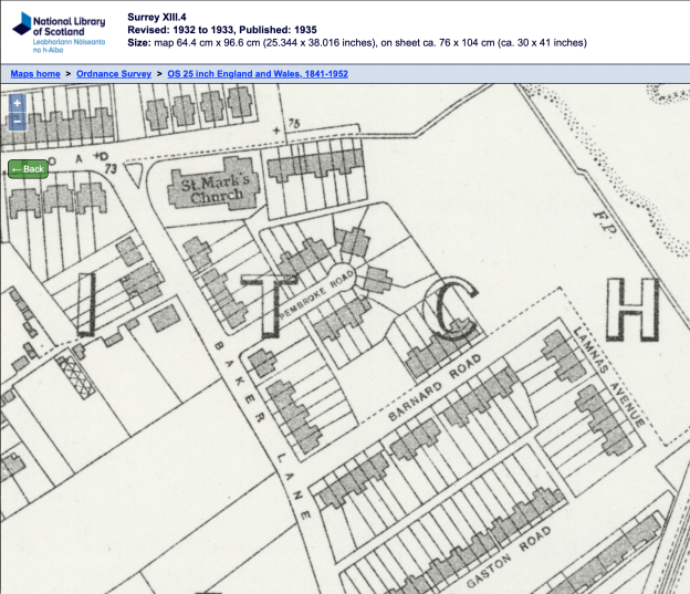
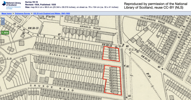
1932 OS map
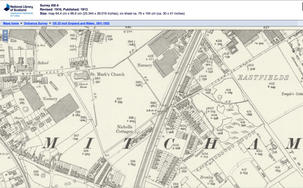
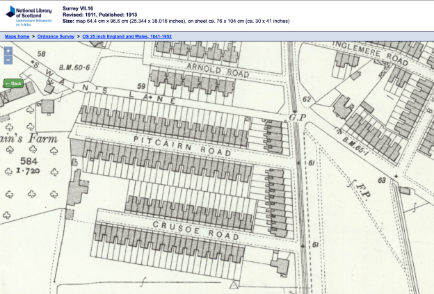
1910 OS map