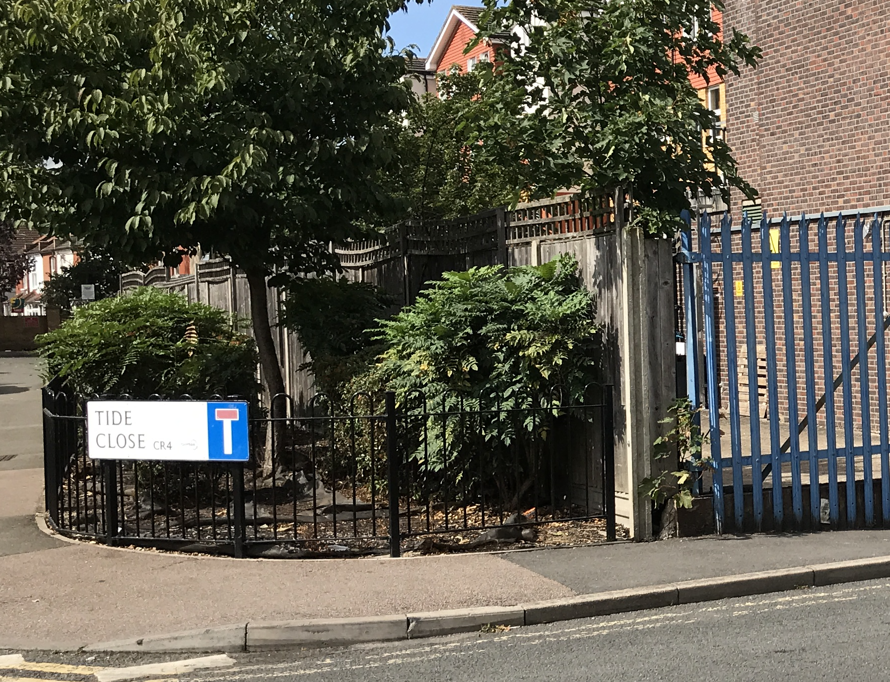
Road off west side of Sandy Lane, consisting of two blocks of flats on the left hand side of the road, as viewed from Sandy Lane, and one block on the right. The names of the blocks reflect the seaside theme: Reef House, Pier House and Dune House. The postcodes for the flats in these blocks are CR4 2GL, CR4 2GN and CR4 2GR respectively.
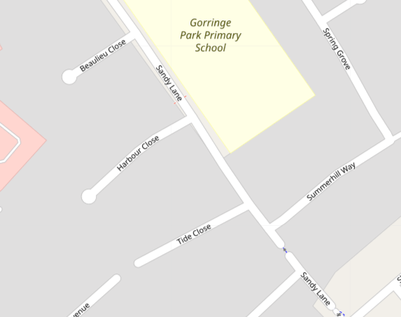
2021 Open Street Map
Road sign. Photo taken 22nd August 2020
The road and housing was built on a former builders yard, as described in planning application 05/P1938, by Green Acre Homes (South East Ltd.) & Wandle Housing Association Ltd. in 2005 :
Change of use of site from builders storage yard to residential comprising the erection of 3 x three and 1 x four storey buildings to provide 9 x one bed, 40 x two bed and 12 x three bed units with associated parking and 2 vehicle accesses from Sandy Lane.
The builders yard was also known as Byrne’s Yard, and was part of the Electricity Board’s substation site.