Road to south of Church Road, opposite the parish church. On the west corner is a disused building called La Sport Community Centre. It was originally built around 1937 as the Church Road Welfare Centre.
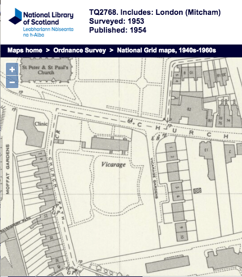
1953 OS map
On the west side of the road, leading south from Church Road are two terraces of houses : John’s Place and Maple Terrace.
At the southern end of the road there is a footpath, of the same name, that heads south east towards London Road, where it is a road again, with houses on its north side.
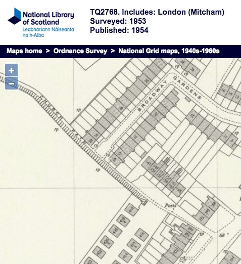
1953 OS map
