Category Archives: Roads

Belgrave Walk

Road that connected Belgrave Road to Century Road, and from there led to the path known as Jessop’s or Adam’s Alley to Church Road.
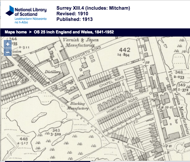
1910 OS map

1910 OS map

From the 1915 street directory:

From Church Road to Bath Road
SOUTH SIDE

Hawthorn Cottages
6, Albert Edward Tapping
7, George Carr
8, William Powell

… here is Century Road

NORTH SIDE

4, Thomas James Wilkes
3, Mrs A Clare, laundress
2, Arthur Darch
1, James Thomas Pepper

… here is Benedict Terrace

World War 1 Connections

A T CRESSWELL of 1 Benedict Terr Belgrave Walk, aged 18 Years, Clerk. Conscripted on 15 February 1917 to the 29th Training Reserve Batn.
Bedfont Close

Bedfont Close is a cul-de-sac road that is off the west side of St Mark’s Road, Mitcham. There are 15 houses on the north side only, all with the postcode CR4 2JR.

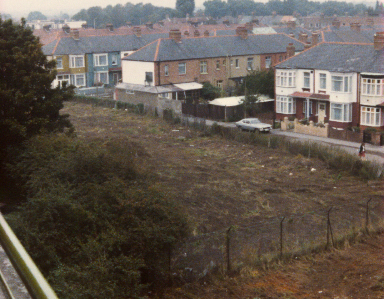
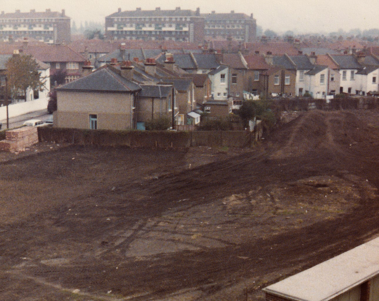
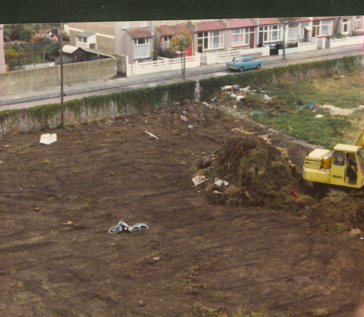
The road and houses were built in around 1979/1980 along with more houses on Feltham Road. The land used had been earmarked for a by-pass, known as the Eastern Loop. When this by-pass scheme was abandoned, the land, which had been allotments since the Armfield Crescent estate had been built in the early 1950s, was left as unused.

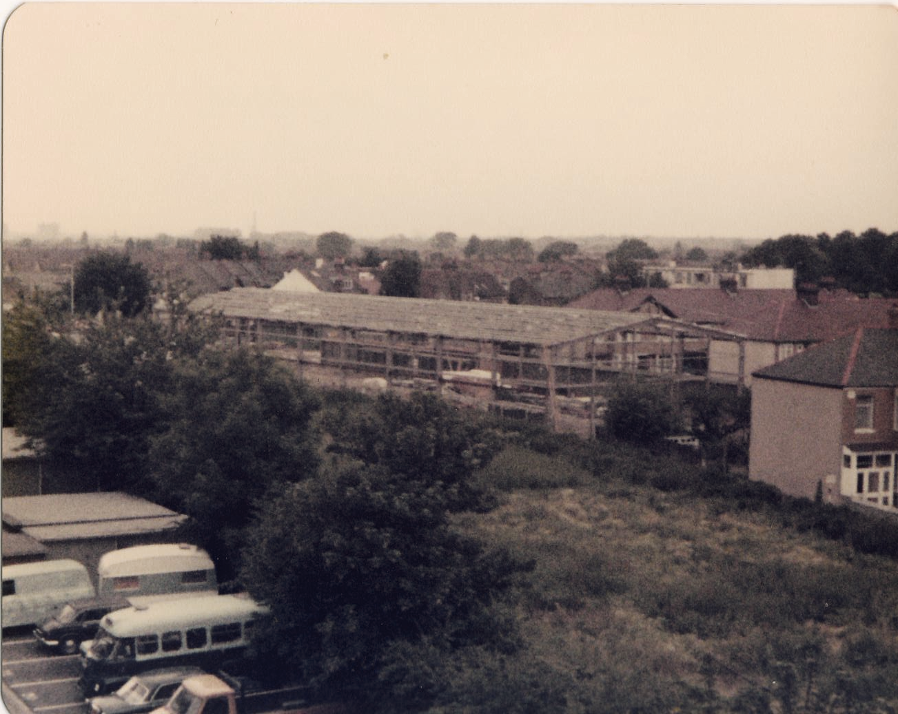
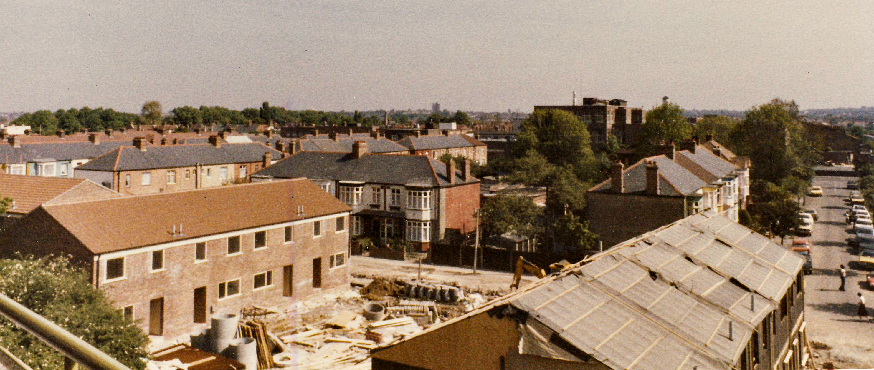
These photos show the land, as viewed from Mainwaring Court in Armfield Crescent, prior to the development.

Oct/Nov 1979 view to east, with Laburnum estate flats on horizon.

View towards Feltham Road.

View towards London Road. The street where the yellow and blue house that can be seen on the left is Firtree Avenue.

The allotments near to London Road. The large building under construction was on the site of Anderson’s timber.

Houses being built. Carew Road is on the right.