Two pairs of semi-detached villas that were on north side Lower Green West, east of Glebe Path and west of Sibford.
Numbers 1 & 2, next to Glebe Path, can seen in this clip from a photo of the Mitcham War Memorial on Merton Memories.
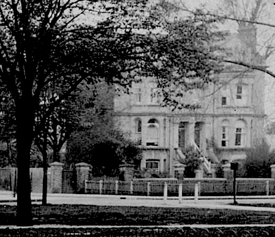
Clip from Merton Memories photo reference Mit_War_10-2 copyright London Borough of Merton.
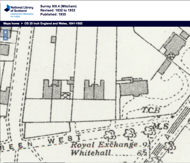
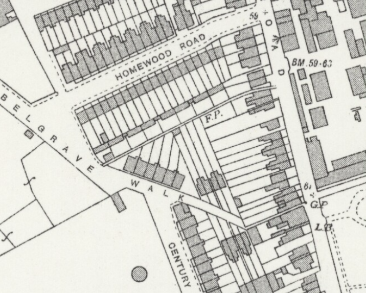
1932 OS map
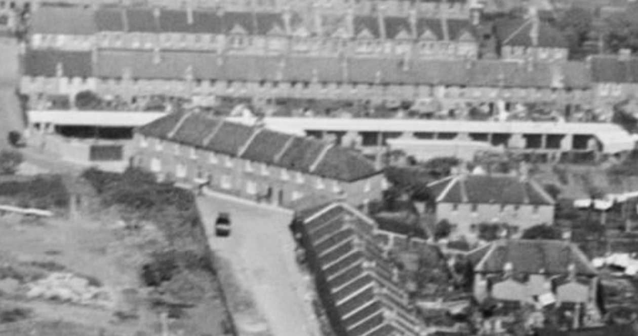
They can be seen in this aerial view in 1947. Zoom in to the top right hand corner of the photo.
The residents listed in the 1925 street directory were:
1, William WEBB
2, Arthur Edward CUBISON – solicitor and commissioner for oaths3, Percy W, SMITH; John Alfred ROSE
4, Mitcham & District Ex-Service Men’s Social Club Limited (Sidney TAYLOR, hon. sec)
The 1881 electoral register shows the occupants as:
1, L. A. da COSTA Vice Consul for Brazil
2, Jane HALL3, Jane GEDGE
4, Thomas MORGAN retired shipowner
This OS map of 1953 shows only the block numbered 3 and 4, and so the other block had been demolished before then.
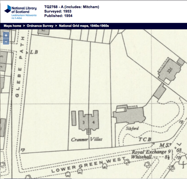
1953 OS map
This block was demolished in 1954, as mentioned in this article from Mitcham and Tooting Advertiser
CRANMER VILLAS
Mitcham Housing Committee have decided that the pair of semi-detached villas on the Lower Green, known as 3 and 4, Cranmer Villas, shall be demolished owing to their condition, and because their repair would be uneconomical.
The villas are part of the Glebe estate. A scheme for the development of the land to Glebe Path is being prepared.
From the minutes of the
Croydon Rural District Council
Roads and Buildings Committee
Volume VIII 1902 – 1903
3rd July 1902
page 219
2. Deposited Plans. – The Buildings Sub-Committee reported that they had carefully examined al the plans of new streets and buildings deposited since the last meeting, and on their recommendation, it was Resolved:-
(a) That the undermentioned be approved:No. 2176, Cubison, A. E., additions, 2 Cranmer Villas, Mitcham
World War 1 Connections
From the Surrey Recruitment Registers:
C A PALMER of 4 Cranmer Villas, Lower Green, Mitcham, aged 35 Years 4 Months, Journalist. Volunteered with the Derby Scheme on 11 December 1915 to the East Surrey Regiment (1st Batn).
Minutes of meetings held by the Croydon Rural District Council are available on request from the Merton Heritage and Local Studies Centre at Morden Library.
Maps are reproduced with the permission of the National Library of Scotland.