Road off of St Mark’s Road that runs south eastwards to the corner with Gaston Road. All properties have the postcode CR4 3LG.
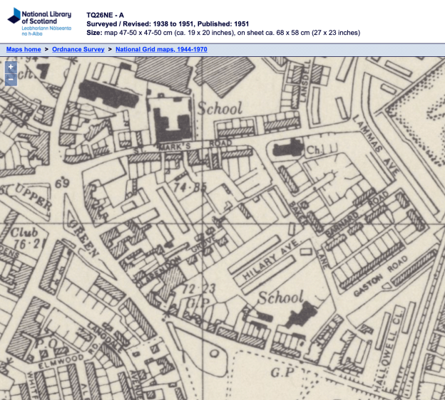
1938 OS map
In the 1925 street directory, 5 properties are shown.
from St Mark’s Road
1, Tom Frederick BURNMAN
2, Sidney LOSEBY
3, George Gurney FORD
4, Miss C. KEEN, dressmaker
The Bungalow, William Henry HOPKINS
In the 1930 electoral register, William Henry HOPKINS is listed as at The Bungalow, but in the 1931 register as at number 10 Baker Lane. The road was renumbered in late 1930 or early 1931 – source: Minutes from the Mitcham Urban District Council’s Highways Committee, dated Thursday 4th September 1930.
1931 Electoral Register
2, Stanley and Ivy STROUD
4, Lilian Margaret and Sydney LOSEBY
6, Francis William and Eleanor BELLENGER; Albert and Charlotte HOWE
8, Leslie and Florence WATKIN
10, William Henry, Jane Emily and Ivy HOPKINS
(In around 2008, The Bungalow (number 10) was demolished and replaced by a terrace of 3 houses, numbered 10, 10A and 10B. See planning application 08/P0556.)
The 1933 Electoral Register shows more houses: Odds numbered from 1 to 27, and evens from 2 to 18.
Council minutes from 1934 show that this new street had been allocated 33 trees.
The 1952 OS map shows the odd numbered houses on the east side of the road:
1 and 3, then a gap, and 5 to 11, then Pembroke Road
13 and 15, then a gap, then 17 to 27 as a terrace, then Barnard Road
and evens on the west side:
2 to 8A, then a gap, 10 on its own, then 12 to 18 as a terrace, then on the corner with Hilary Avenue, 20 on its own and 22 on the opposite corner.
Current maps (2022) show number 24 next to no. 22.
Near the St Marks Road end, there was a public phone box next, to the pillar box, until around 2015. It is seen in this Google Street View from 2015:
Newspaper Articles
Norwood News – Friday 14 December 1951
Following a request by Upper Mitcham and Gorringe Residents’ Association, the Post Office is to move a pillar-box in St. Mark’s-road from Lansdell-road to the corner of Baker-lane.
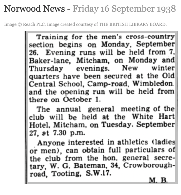
Norwood News – Friday 16 September 1938
Image © Reach PLC. Image created courtesy of THE BRITISH LIBRARY BOARD.


