Category Archives: Housing

Baltic Close and Oslo Court

Road and block of flats off northern side of Colliers Wood High Street and built in 1938/9 by Mercer Taylor & Co. At this time the Mitcham borough boundary included this road. Royal Mail postcode lookup shows 16 flats, all with the postcode SW19 2BL.
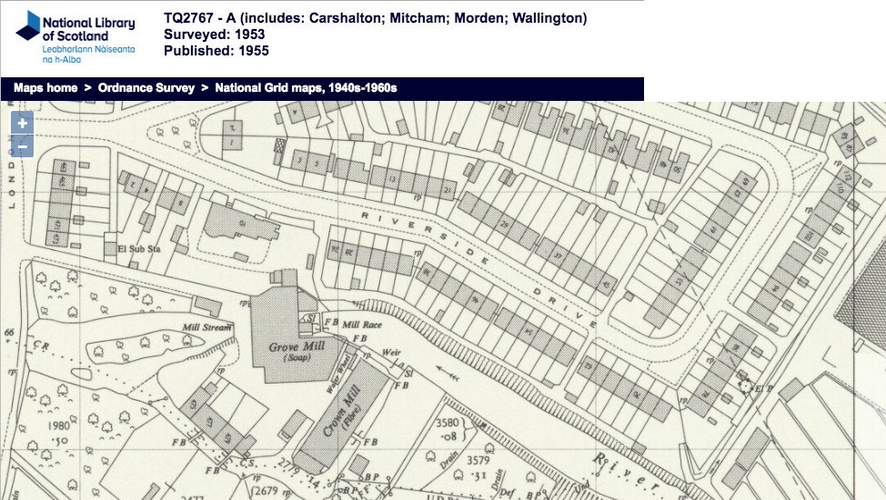
1950 OS map

The developer wrote to Mitcham Borough Council and suggested that since this road was next to the Victory pub, then the name of the road could be Trafalgar Close or Victory Close. The council disagreed, pointing out there were already similar named roads in the SW19 postal district. The council suggested Baltic Close, and the developer agreed, who suggested that the block of flats be named Oslo Court.

Source: Minutes of the Mitcham Borough Council, 1938-39 volume 5, pages 12 and 127.

Note that the Victory pub has since been renamed a couple of times, and the current (as of Feb 2018) name is the Charles Holden, who was an architect who designed the nearby Colliers Wood underground station.


Maps are reproduced with the permission of the National Library of Scotland.

Minutes of meetings held by the Mitcham Borough Council are available on request from the Merton Heritage and Local Studies Centre at Morden Library.

Riverside Drive

Road off east side of London Road, and north of the River Wandle.

The Royal Mail postcode search shows 86 addresses with postcodes CR4 4BR for 1 to 69 odd, CR4 4BU for 2 to 74 even and CR4 4BW for 76 to 112 even. The road also includes the day care Jan Malinowski Centre at no. 114 and Wandle House at no. 10.

1953 OS map

The road is part of the Brookfields Estate built in 1937/8. The developers had proposed the name Coronation Grove but received objections to this by purchasers. The developers then sought advice of the council, suggesting alternatives Laurel Grove, River Way, Rivermead Avenue, Orchard Gardens and Riverside Drive. The council chose the latter. Source: Minutes of the Mitcham Borough Council, volume 4 1937-38, page 453.

The other road of this estate, Brookfields Avenue, retains the name which came from Brookfields Cottage, which was near Wandle Grove (later called Wandle House). Source: Mitcham Histories: 6 Mitcham Bridge, The Watermeads and The Wandle Mills, chapter 6.

1910 OS map


Maps are reproduced with the permission of the National Library of Scotland.

Minutes of meetings held by the Mitcham Borough Council are available on request from the Merton Heritage and Local Studies Centre at Morden Library.