Road in north Mitcham, off the west side of London Road. It is accessible from that road via Pitcairn Road, but may also be accessed via Taylor Road and Alexandra Road. Built in the 1920s.
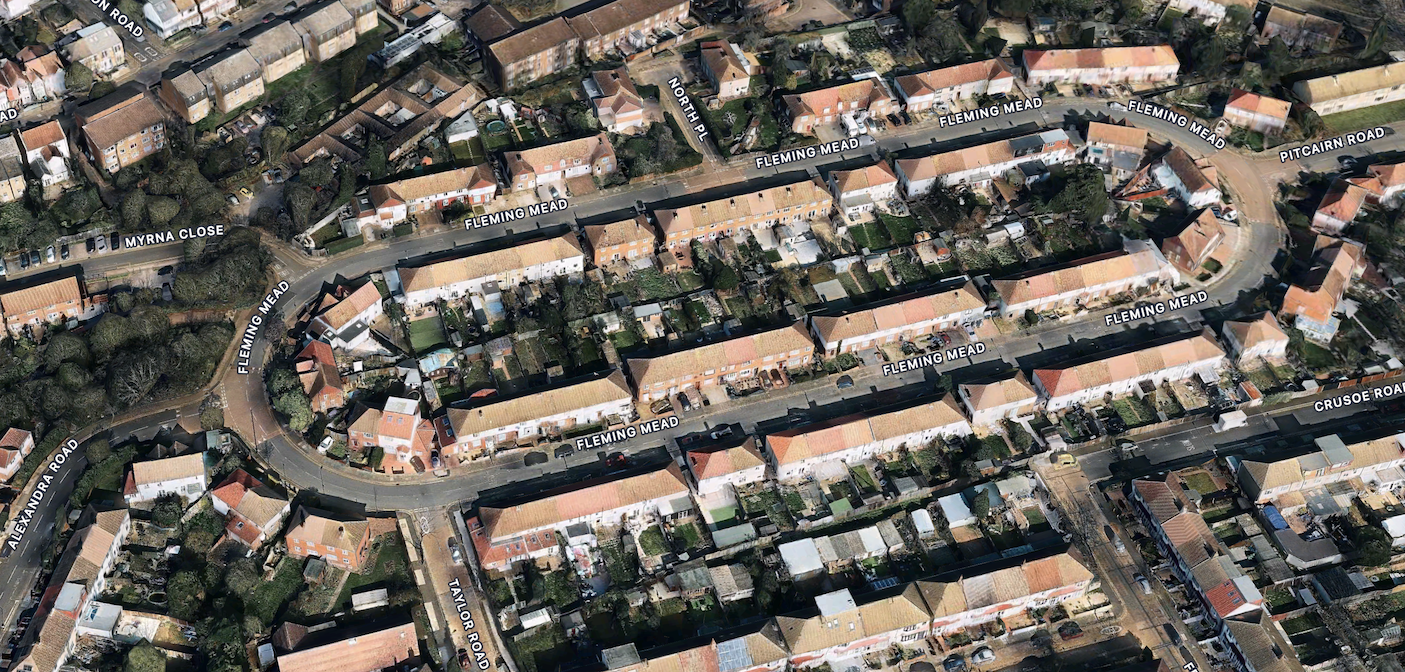
Aerial view of Fleming Mead from Apple Maps
There is a footpath between Myrna Road and Taylor Road that leads to Christchurch Road next to the entrance to the Tandem Centre.
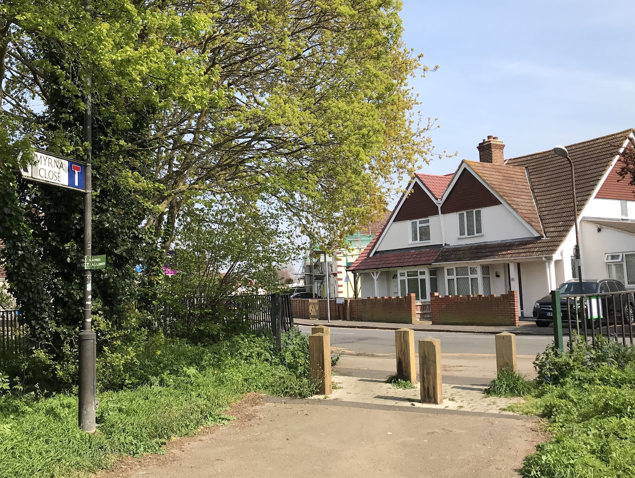
Entrance to footpath looking toward Steers Mead. Photo taken 15th April 2019.
According to Eric Montague, in his book “Mitcham Histories : 2 North Mitcham”, page 13, the name Fleming Mead derives from Fenny Mead, once a part of Biggin Farm.
The houses are numbered even in the centre, from no. 2 being at the eastern end (in red below), facing Pitcairn Road, and anti-clockwise until ending at no. 116 next door. The houses on the outside are numbered odd from 1 (in green below) on the corner with Pitcairn Road and going anti-clockwise to end at 111 on the other corner.
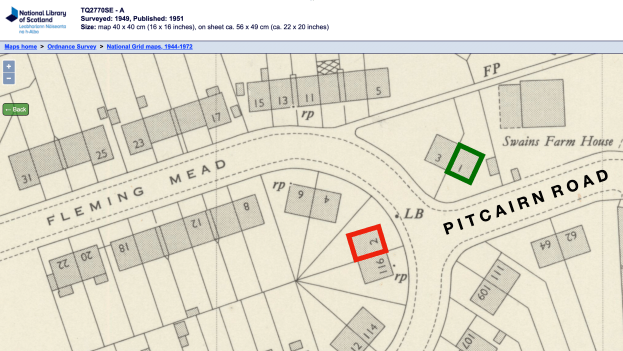
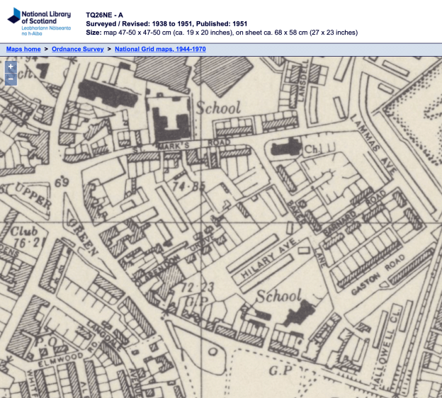
1949 OS map reproduced by permission of the National Library of Scotland, reuse CC-BY.
In this map, Swains Farm House, to the right of numbers 1 and 3, is the site today of a 2-storey block of flats called Swains House.
News Articles
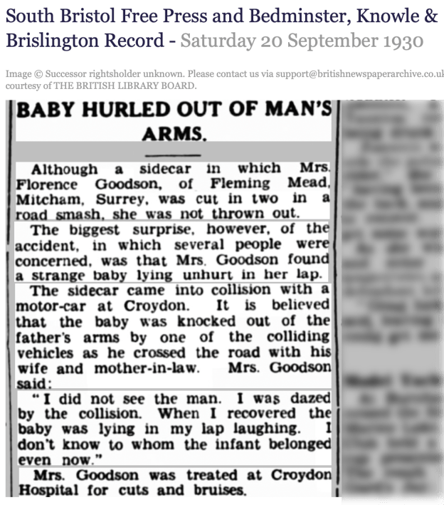
20th September 1930. Via the British Newspaper Archive.
BABY HURLED OUT OF MAN’S ARMS.
Although a sidecar in which Mrs. Florence Goodson, of Fleming Mead, Mitcham, Surrey, was cut in two in a road smash, she was not thrown out. The biggest surprise, however, of the accident, in which several people were concerned, was that Mrs. Goodson found a strange baby lying unhurt in her lap. The sidecar came into collision with a motor-car at Croydon. It is believed that the baby was knocked out of the father’s arms by one of the colliding vehicles as he crossed the road with his wife and mother-in-law. Mrs. Goodson said: ” I did not see the man. I was dazed by the collision. When I recovered the baby was lying in my lap laughing. I don’t know to whom the infant belonged even now.” Mrs. Goodson was treated at Croydon Hospital for cuts and bruises.
World War 2
Between June 1944 and January 1945, there were 45 V-1 missiles that landed in Mitcham. One of these hit Fleming Mead, on 11th July 1944, and four people were killed. They were:
At no. 76, Lilian Mary LEGGO, aged 46.
At no. 78, Beatrice Florence CLARK, aged 14, and her mother Lillian Louise CLARK, aged 45.
At no. 86, May YATES, aged 40.
Thirteen houses were completely demolished, with 11 damaged but not repairable.
The 1949 OS map shows the gap where the houses were.
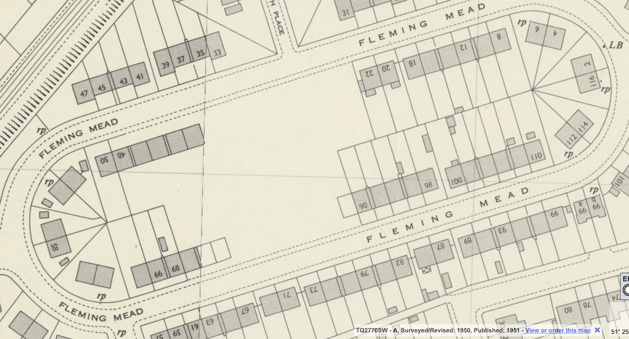
1949 OS map reproduced by permission of the National Library of Scotland, reuse CC-BY.
In 2010, David Haunton of the Merton Historical society listed all the Mitcham V-1s in two articles for the society’s bulletins, numbers 173 and 174. These can be downloaded from the society’s webpage. In issue 174 he has included a map of Mitcham which shows the location of the V-1 that landed in Fleming Mead.