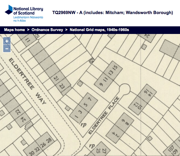
Road that runs south westerly from Cranmer Road to the footpath alongside the tram line. On this 1932 OS map, the footpath is shown as Tramway Path.

1932 OS map
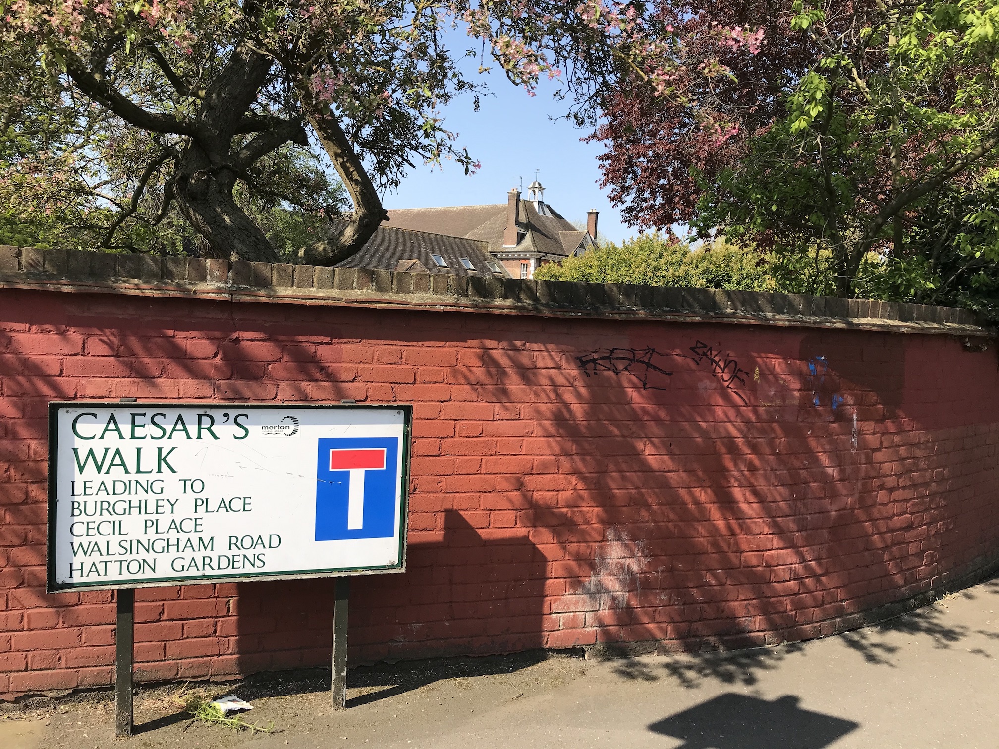
Road sign at corner of Caesars Walk and Cranmer Road. The Wilson Hospital can be seen in the background.
The name of the road refers to Sir Julius Caesar Adelmere who, it was believed, had a mansion on the site where the Wilson Hospital is now. In 1598 he entertained Queen Elizabeth I. From this the names of the roads off of Caesars Walk are related to that monarch.
However, Eric Montague, in his book Mitcham Histories:11 The Cranmers, The Canons and Park Place, page 70, says that local records indicate that Sir Julius’s residence was actually south of the Burn Bullock, on the London Road.
Sir Isaac Wilson had bought in 1926 the Cranmers and surrounding land that stretched across the South London and Sutton railway line to the junction of Cranmer Road/Willow Lane with Carshalton Road. He built the eponymous hospital, which opened in 1928, as well as the Garden Village. In between the two he developed Caesars Walk, Burghley Place, Cecil Place, Walsingham Road and Hatton Gardens.
Ad for number 29, on the corner with Walsingham Road, from the Norwood News – Friday 27th October 1933
MITCHAM COMMON
(7 mins, Mitcham Junction Station, 20 mins, Town); semi-detached freehold house; built 6 years; garage; 3 bed, 2 reception,bathroom. kitchenette; gas, e. l., hot water; re-decorated; excellent condition; £650. – Owner, 29, Caesars-walk. Mitcham.
WW2 civilian deaths on 24th February 1944 (links are to Commonwealth War Grave Commission website):
51 Caesars Walk
George Arthur WILLIAMS, aged 56, Air Raid Warden
Private Betty Violet WILLIAMS, aged 23, Auxiliary Territorial Service
55 Caesars Walk
Edith WHITE, aged 17
Rosa Harriett WHITE, aged 51
From local newspapers
24th June 1932 from Mitcham News & Mercury:
Mrs Miriam Victoria MOORE, aged 35, and her daughter, Denise Olive MOORE, aged 6, found gassed.
(lived at no. 24 according to 1932 Electoral Register, with Frederick Gordon MOORE)
Maps are reproduced with the permission of the National Library of Scotland.