Starting as a ‘sports and radio’ shop, Tring’s opened on 30th August 1946 at 40/41 Monarch Parade, London Road.
This ad from 1947 was for their 1st anniversary:
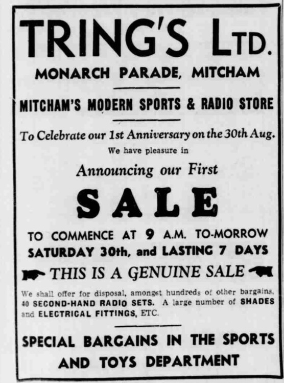
Streatham News, 29th August 1947, via British Newspaper Archive
This ad from 1959 shows inside the shop with 30 television sets on display.

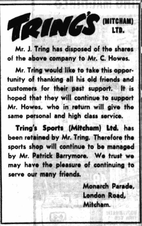
In June 1963, Mr J.T. TRING sold his shares in the Tring’s (Mitcham) Ltd. and kept the sports shop as Tring’s Sports (Mitcham) Ltd.
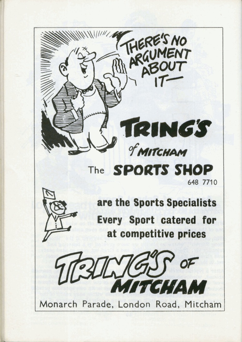
Tring’s Sports shop ad from the 1971 Mitcham Cricket Club yearbook
There is a photo of the shop around 1987 on Merton Memories.
Mr James Thomas TRING was born 12th April 1904 in Battersea, and died on 25th August 1992 at Worthing. He was living in St. Georges Road, Mitcham, in 1950, according to this news item:
Sutton & Epsom Advertiser – Thursday 23rd November 1950
TRADERS FINED
Storage of fireworks
Summoned at Mitcham on Monday for allowing the improper storage of fireworks at his premises at Monarch Parade, Mitcham. Mr J T Tring, St George’s Road, Mitcham, was fined a total of £7.
It was stated that defendant had been authorised to store 100-lb. of fireworks at his premises. When the premises were visited, however, 186-lb. of fireworks were found and some were stored unsatisfactorily. In the witness box, defendant said that the fireworks were special orders he had made up for customers. At the time he had been busy organising a local radio and television exhibition. He was unaware that the manner in which the fireworks were stored was illegal. The manufacturers were partly to blame as they did not issue clear instructions. He assured the court that premises in London Road were 100 per cent fireproof.
Walter Arthur Sanders, of London Road, Mitcham, was fined £5 for keeping 200 fireworks in an unauthorised place.