1910 ad

From the Mitcham & Tooting Mercury, 11th September, 1914
J.B. ROMPEL, watchmaker, jeweller, and optician,
3, Central Market, London Rd., Mitcham
(opposite old address)
AN ENTIRELY NEW & UP-TO-DATE STOCK now showing.JOIN OUR CLUB. Full particulars in application.
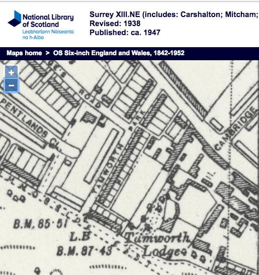
The Central Market was opposite the Parade, between Raleigh Gardens and Tom Francis’s shop London House.
He was listed in the 1915 commercial directory as a watch maker in the ‘high street’, London Road. The full name was given in the 1911 commercial directory. He is listed in the 1925 street directory as watchmaker at 3 Central Market. In electoral register of autumn 1926, this address was changed to 278 London Road, when that road was renumbered. His last entry at this address was in the 1934 electoral register. See also his ad in 1929 Where to shop in Mitcham.
From Ancestry:
He was born in Hessen Nassau, Prussia (Germany) on 13th September 1872, as Johannes Baptiste Rompel. His parents were Johann and Barbara Rompel. He was naturalised as a UK citizen in 1911.
He married Nellie Louise Court on 8th March, 1903, at the parish church. His wife was born in Oxford, and she lived at 12 High Street. Her father was William Court, confectioner. His father, deceased, Johann Carl Rompel, was a veterinary surgeon. John Rompel was living at 42 Kings Road, Mitcham, when he married.
John Rompel died on 26th December, 1935, aged 63, at Kingston hospital. His home address was 4 Melrose Avenue. He left £1,563 1s 9d. to his wife. Adjusted for inflation, this is equivalent to £100,000 in 2018.
His wife died on 19th March 1954, aged 74. She left £1,813 in her will, which is around £50,000 in 2018 values. Her probate record shows she was living at 4 Melrose Avenue, Mitcham, and died at Grange Nursing Home, Morden. She left her money to Cecil Howard Mason, departmental head.
In 1915, his shop was approached by an angry crowd protesting at the sinking of the Lusitania.
ANTI-GERMAN DEMONSTRATIONS AT MITCHAM
Early last evening a crowd, which gradually swelled until about 8 o’clock, when it
numbered several hundred persons, assembled at the Fair Green for the purpose of
expressing indignation at the recent murders on the high seas.Proceeding in the direction of the Parade, the crowd halted in front of the jeweller’s
shop tenanted by Mr. J. B. Rompel, a naturalised German.Their attitude was distinctly menacing, and but for the presence of a large force of
Special Constabulary they would, no doubt, have vented their feelings in no unmistakable manner. After some jeering and hooting the police dispersed the crowd.With the exception of one man, whose head was cut with a stone, no damage or
injury took place.
Source: Mitcham & Tooting Mercury, 14th May, 1915.