Built by Mitcham Borough Council and completed in 1934, to rehouse some of the people made homeless by the Explosion. Due to the white rendered walls of the houses, it had the nickname ‘White City’.
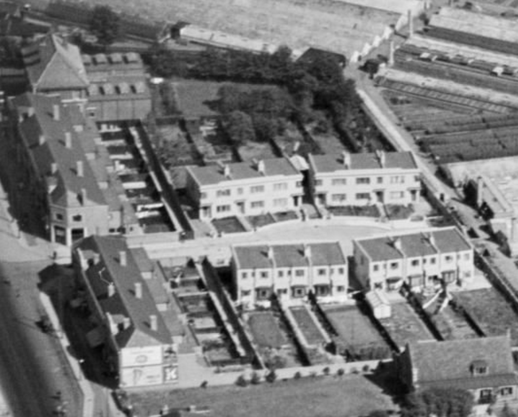
1937 Aerial photo from Historic England:
The development consisted of 9 blocks of a total of 48 terraced houses, which included odd numbers 103 to 121 Love Lane and 12 to 17 inclusive in Westfield Road.
This 1932 OS map shows the area occupied by nurseries before Pear Tree Close, Taffy’s How and Walnut Tree Avenue were built.
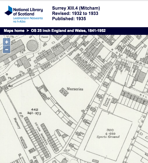
1932 OS map
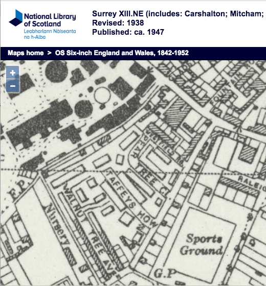
1938 OS map
The average cost per house was £36 for the land, £27 for the road and sewers and £305 for the building.
From the minutes of Housing Committee
11th December 1947
page 151
No. 20 Pear Tree Close
The w.c. pan at the above house was broken by a cat jumping through the open window and knocking over a bottle which cracked the pan. I shall be glad of the Committee’s instructions as to whether or not the tenant is to be charged.
I am, Ladies and Gentlemen,
Your obedient servant,
B. THRUPP
Housing ManagerResolved – That the cost of repair be borne by the Council
Minutes of meetings held by the Mitcham Borough Council are available on request from the Merton Heritage and Local Studies Centre at Morden Library.