Bakery on Morden Road, as shown on this OS map of 1953, behind the Gas Meter factory. Possibly built after WW2 and in business until 1955.

1952 OS map reproduced by permissio of the National Library of Scotland, reuse CC-BY
The site is currently occupied by a trading estate to the east of Deer Park Gardens.
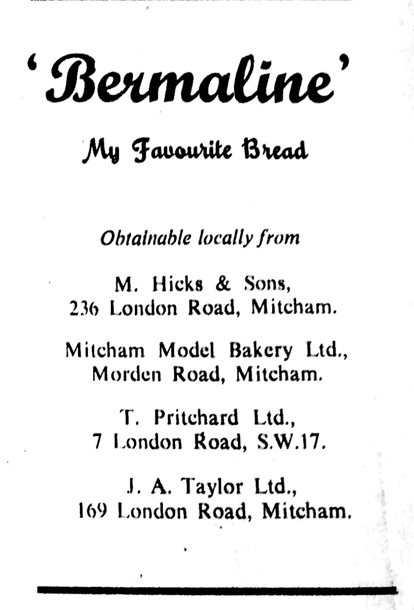
1952 ad
Job ad in 1950 for bakers referred to modern building:

1950 ad from Croydon Times via the British Newspaper Archive
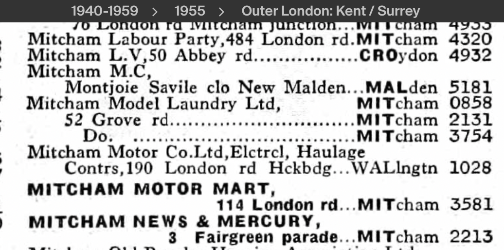
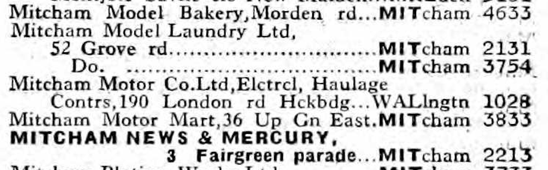
Listed in the 1954 phone book:
but not in the 1955 phone book: