From the Mitcham and Tooting Advertiser, 15th September, 1955.
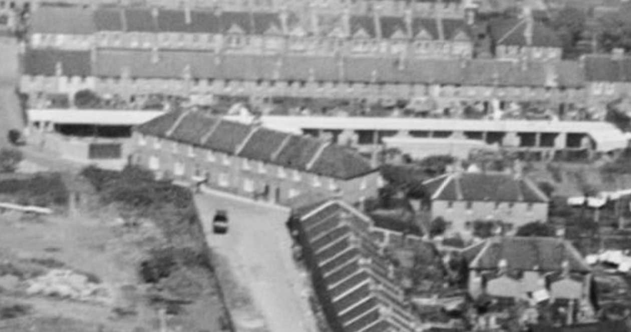
A LANDMARK familiar to thousands of Mitcham residents disappeared last Thursday with the felling of the 125 ft. high refuse destructor chimney at Phipps Bridge.
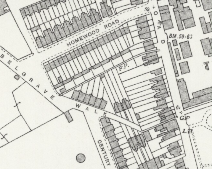
This was the first major step in clearing the area adjoining Homewood Road for Mitcham Corporation’s proposed £1,750,000 redevelopment scheme to house 636 families.
During the previous week-end, two steeplejack brothers Mr. Arthur Collard and Mr. John Collard. began work on what was for them the end of another chimney. By Thursday they had cut away half the 18-ft. wide base, leaving timber props in place of the 3-ft. 6-in. think brickwork.
At 2.26 p.m. the props, soaked in 20 gallons of paraffin, were set alight. As flames leapt high, the 21 year old chimney belched smoke for the last time. Nine minutes later, it heeled over with a muffled roar 460 tons of brickwork fell to the ground beneath a vast cloud of dust.
The deputy borough engineer, Mr. W. B. W. Wignall, and a number of Mitcham councillors, including the chairman of the Housing Committee, Ald. D. W. Chalkley, watched the chimney crash down a few yards from their feet.
“PERFECT DROP”
And from his New Close home which overlooks the site Mr. Tom Good, now in his seventies, saw the end of the chimney he had helped to build.
“It was a perfect drop.” said Mr. Arthur Collard. With him was Alec, his 13 year old son, “who always comes to watch the interesting jobs.”
Built in 1934, in the last year of the old Mitcham Urban District Council, the chimney and destructor cost £9,869. A council spokesman told “The Advertiser” afterwards: “It would probably cost three times that sum to build at present-day
costs.”The destructor was last used at the beginning of 1953. The amount of refuse handled by the corporation had grown so much that it was decided to tip all refuse on Mitcham Common.