No longer exists.
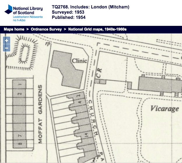
A terrace of 8 houses built in 1933/4. It hadn’t a tarmac road which was never adopted by the council.
In around 1990 it was compulsory purchased by Merton Council for a link road scheme to connect Church Road to Morden Road. This scheme was abandoned by a subsequent Labour council.
Where the houses were, is now Hallowfield Way.
From Urban District of Mitcham council minutes, volume XIX, 1933-1934, pages 948-9, Messrs. Chart, Son and Reading asked for the name Moffat Gardens in place of Angel Close, the original name for the new road leading to Church Road from Messrs. Drewett’s Angel’s Farm.
Maps
Aerial Photos
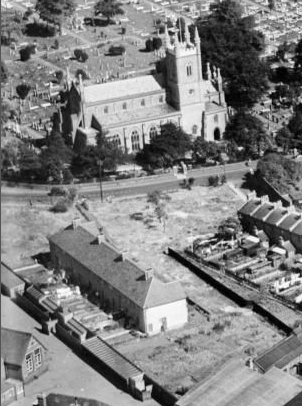
1937
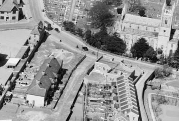
1947
Newspaper Articles
1970 The problem of a rutted footpath
Minutes of meetings held by the Mitcham Borough Council are available on request from the Merton Heritage and Local Studies Centre at Morden Library.


