Road off east side of Church Road and south of Mount Road.

1953 OS map
Houses are numbered even on the north side from 2 to 54, and odd on its south side from 1 to 29, then there is Oakwood Avenue, then from 31 to 47. The Royal Mail postcode finder shows 59 addresses, as some houses have been split into separate flats, all with the postcode of CR4 3DN.
The road was possibly built in the 1920s, as it is not shown on the 1911 OS map, but is on the 1933 map.
A person on the Facebook group Mitcham History said about her mother’s house:
The deeds show the transfer of lands and building gradually happening in Oakwood, Ashtree and Hawthorne from 1910. Houses built by Sir Isaac Wilson.
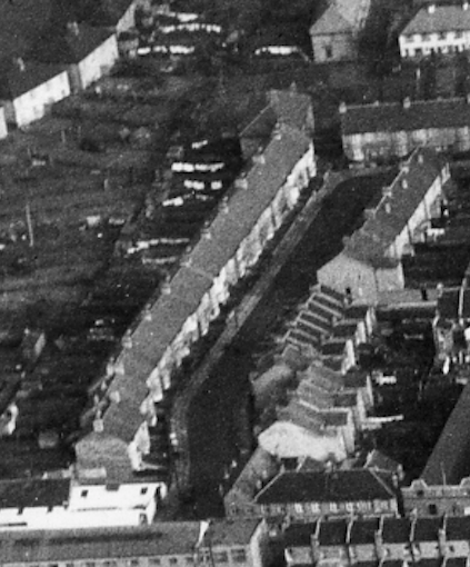
clip from aerial photo taken 10th February 1954, copyright Photoflight Limited
Maps are reproduced with the permission of the National Library of Scotland.
