Premises that was at 230 London Road, Mitcham, as the winter headquarters for the travelling showmen of Harry Gray and his family.
View of the yard looking north:

Photo taken by Eric Montague in 1975. Reproduced by kind permission of the Merton Historical Society. Image reference mhs-em-um-8
The following is an excerpt from Eric Montague’s book Mitcham Histories : 14 Upper Mitcham and Western Road, page 11:
for nearly half a century the winter headquarters of Harry Gray and family. Before World War 2 the site also had a Walls ice cream depot and, before that a house of ‘Georgian’ appearance called Mitcham Lodge College.

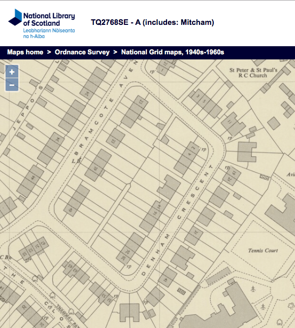
1952 OS map reproduced by permission of the National Library of Scotland. Reuse CC-BY. Site of yard shown bounded by red lines.
Also see newspaper article from 1955.
No. 228 next door was a small office occupied by car hire firm Kandy Kars during the 1970s.
The yard was vacated by the end of the 1990s, and the a block of flats was built with the address of 19 Holborn Way, being the by-pass road that opened to traffic in March 1992. The block was named The Harry Gray Building, and a plaque on the wall can be seen from the pavement, as shown in this photo:

From Apple Maps, 2021.