No longer exists. It was a road that was on the east side of the Three Kings Pond and connected Commonside East to Commonside West. In around 1982 it was removed and this connection was replaced by an diversion of Commonside East and a roundabout.
Source: Merton Council planning application number MER494/82, which was granted 9th September 1982 :
The diversion of Commonside East involving construction of new carriage way, construction of roundabout on Commonside West, closure of Commonside East/West junction to vehicular traffic, narrowing of part of carriageway of Commonside East and stopping up of Three Kings Road.

1953 OS map of Three Kings Road
This photo, from around 1974, of a Metropolitan Police Recruitment day shows the road on the right.
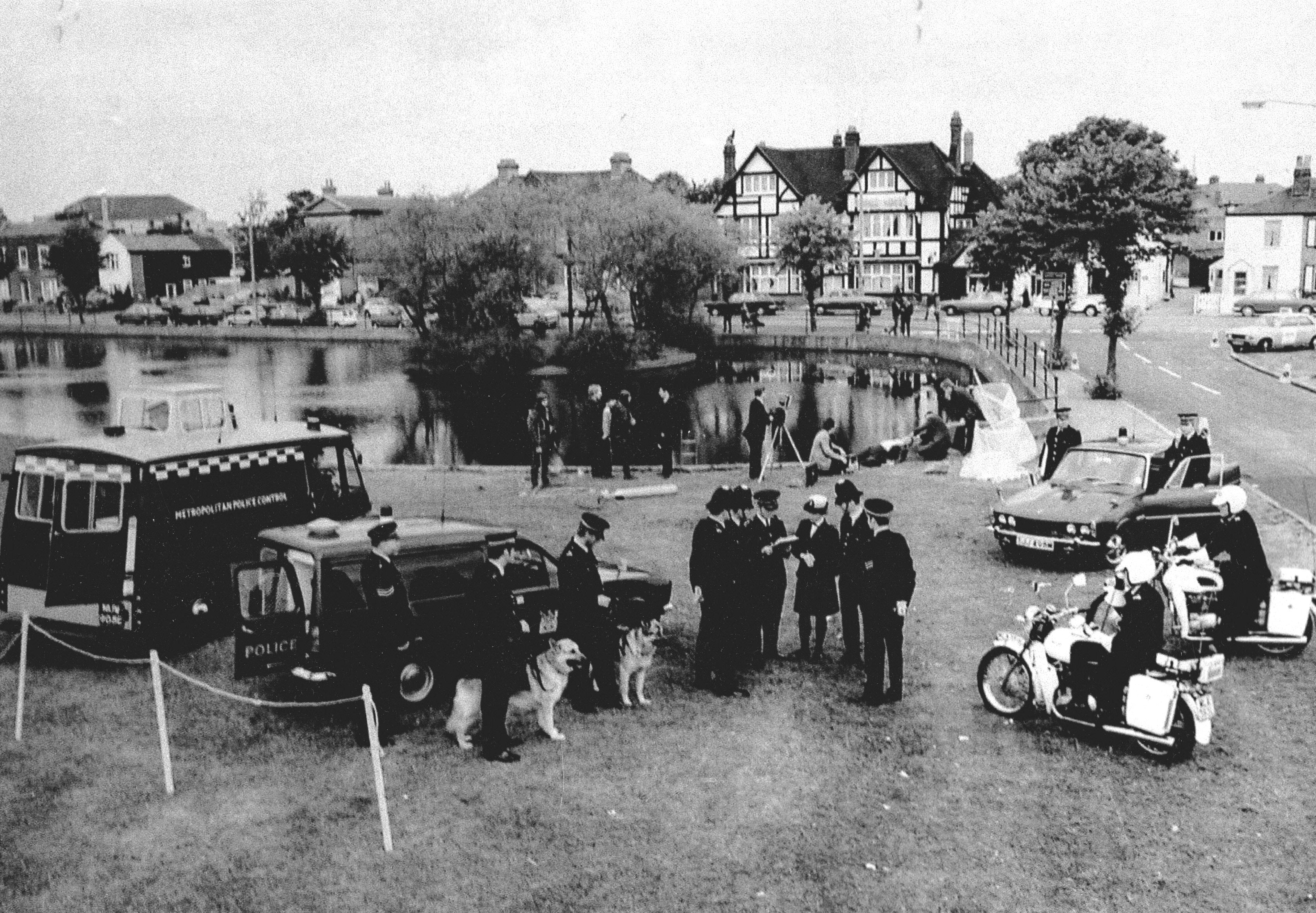
A recruitment drive showing some of the specialisations available once 2 years probation was complete. Dog unit, motorcycle unit, underwater search unit etc.
Note also the route of the footpath that connected Cold Blows to Lavender Walk. This was an ancient path connecting the west and east fields. The path is now diverted to before the start of the Beehive Bridge incline.
Maps are reproduced with the permission of the National Library of Scotland.
