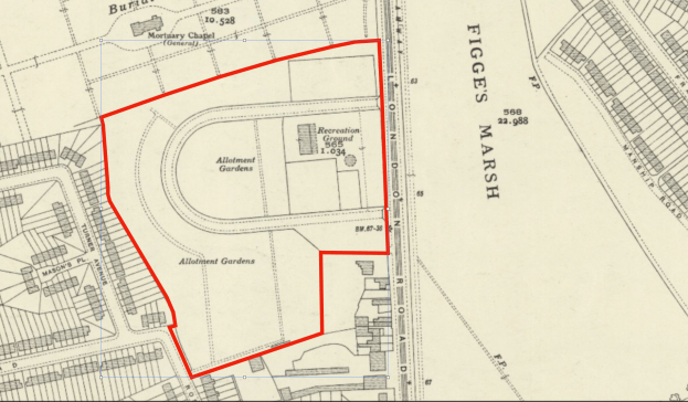
A recreation ground and allotments that were built on land that was part of Tamworth Farm, on the west side of the London Road, opposite Figges Marsh, as shown on this 1865 OS map:
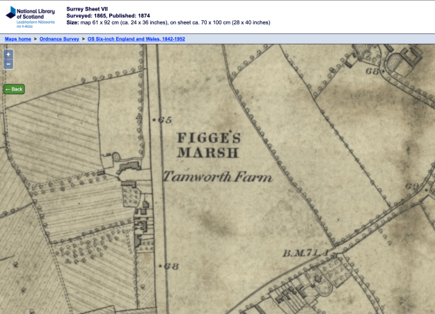
1865 Ordnance Survey map reproduced by permission of the National Library of Scotland, reuse CC-BY (NLS)
According to Eric Montague, in his book Mitcham Histories:2 North Mitcham, pages 42 to 45, the farm fell out of use after World War 1 and was put up for sale. It was bought by Thomas A. MASON, who lived in Reigate, and was donated to the Mitcham Urban District Council. Mr Mason stipulated that part of the land should always be allotments for public use, and this was put into the registered title as a covenant, which reads:
A Conveyance of the land in this title and other land dated 18 June 1923 made between (1) Thomas Alexander Mason (the Settlor) and (2) The Urban District Council of Mitcham (the Council) contains the following covenants:-
“The Council hereby for itself and its successors covenants with the Settlor his heirs and assigns that the Council its successors and assigns will for ever hereafter support maintain and improve the hereditaments hereby assured as to so much thereof as are delineated and coloured red and yellow on the said plan as and for the purposes of a recreation ground and public walks and as to so much thereof as are delineated and coloured green on the said plan as and for the purposes of allotments and will let such allotments at such rents and upon such terms in all respects as the Council thinks fit.”
Source: Land Registry Title register for: Land At, London Road, Mitcham (Freehold) Title number: SGL713503.
Montague noted that Mr Mason lived at Temple Court in Reigate, (listed in a 1920 directory), and that he was a proprietor of a sauce and condiment firm, whose factory was in Wandsworth. The makers of “O.K. Sauce” was the firm of George Mason & Co., as shown in this ad from 1913, from Wikipedia.
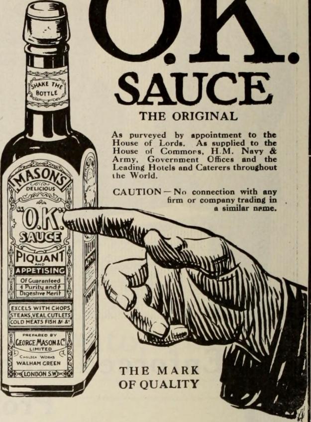
From Canadian grocer October-December 1913
This factory at 265 Merton Road, Southfields, was built by George Mason & Co. in 1928 (the date above the entrance is in Roman Numerals as MCMXXVIII).
It’s likely that Masons Place was named after Thomas A. Mason.
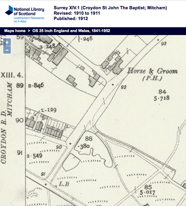
This 1934 OS map shows the land set out for the recreation ground and allotments. The red line matches that on the title plan mentioned above.
1934 OS map reproduced by permission of the National Library of Scotland, reuse CC-BY (NLS)
In 2015 the London Road Cemetery was expanded into the allotment area.
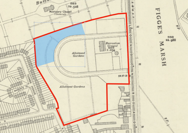
Blue shaded area shows the expansion of the London Road cemetery.
This postcard was sold by C.E Spence, and is likely to have been taken in the late 1920s to 1938, as it has a postmark of September 1928 on the reverse. The sign on the pavilion “THE CHALET” would have been removed at the outbreak of WW2, so as not to provide location assistance to enemy bombers.
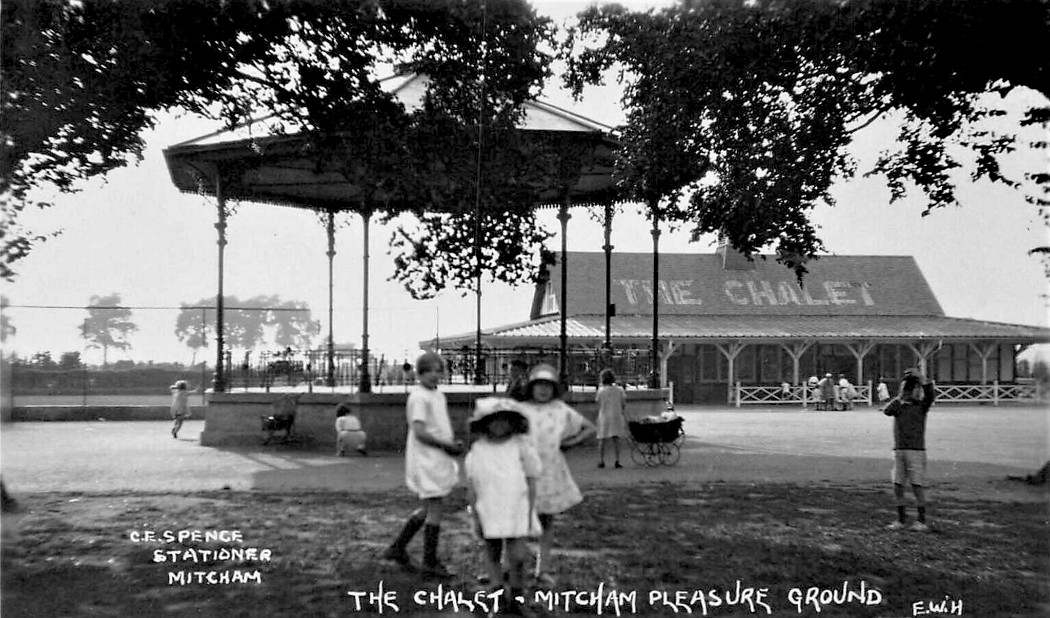
Postcard has postmark date of 22nd September 1938.
According to Eric Montague, the bandstand was taken down before WW2, but its base remained as can be seen in this photo of the floral display (from a private collection).
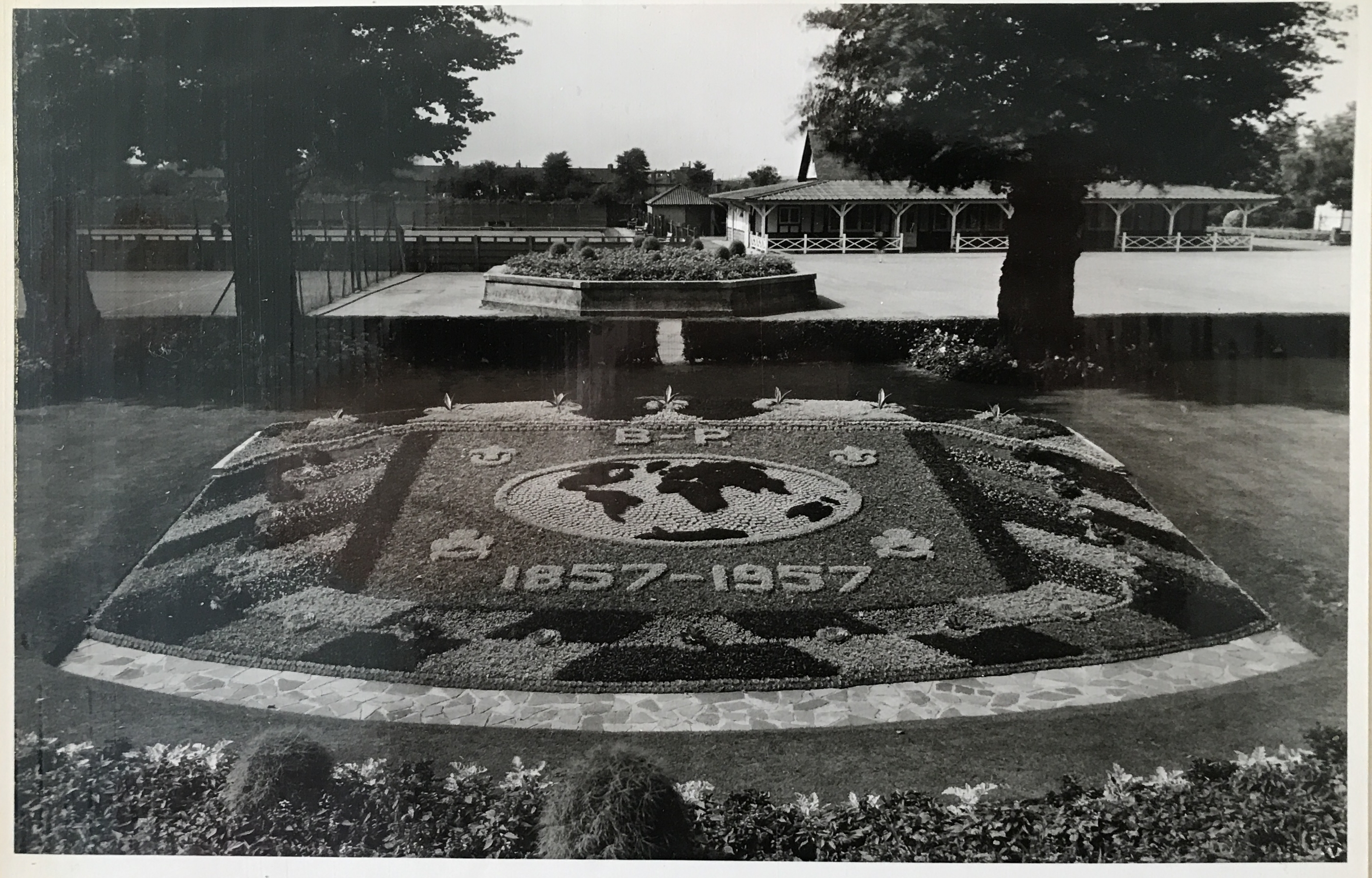
Floral display celebrating Baden-Powell who was born in 1857.
This octagonal base is still shown on this 1973 OS map:
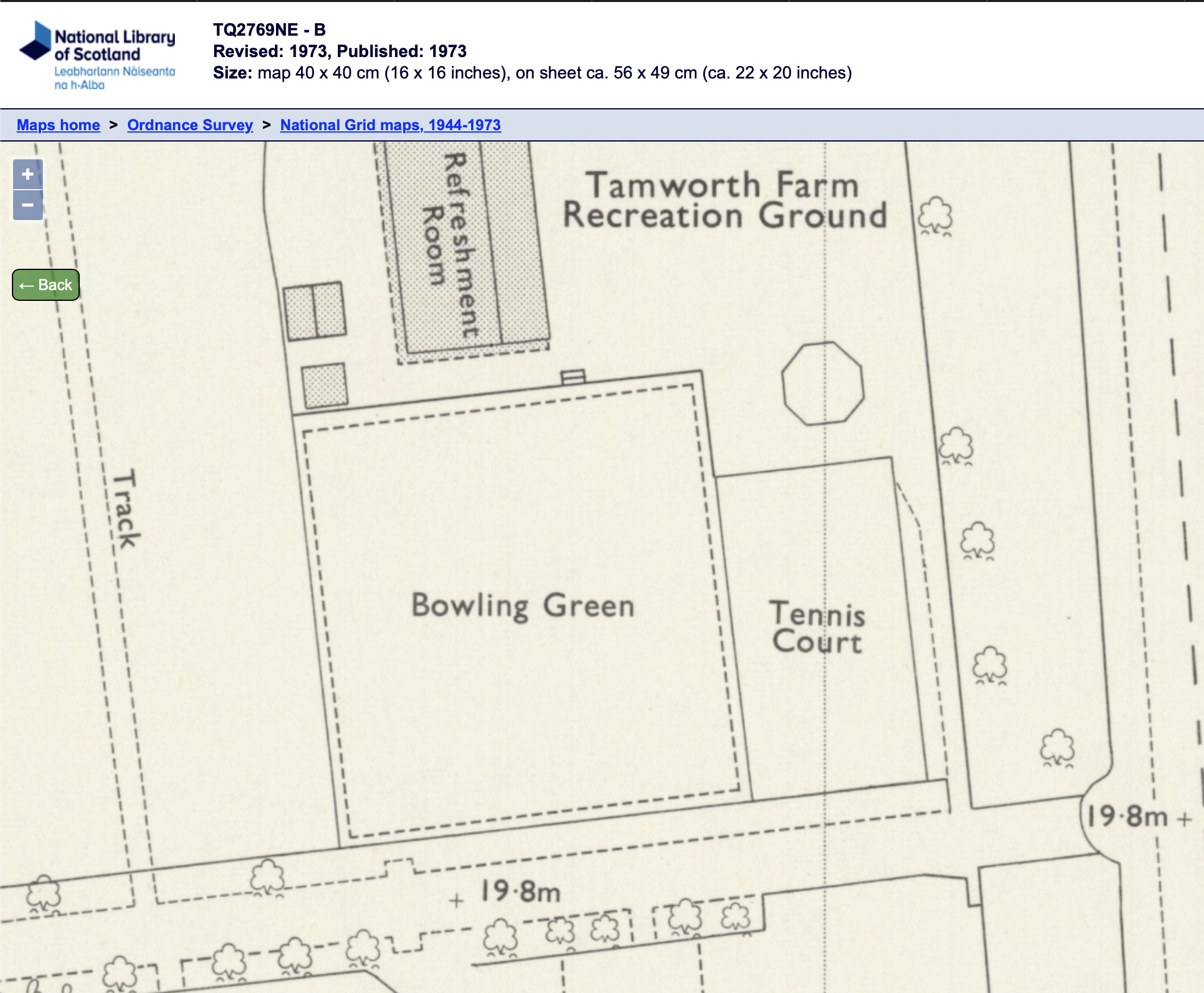
1973 OS map reproduced by permission of the National Library of Scotland, reuse CC-BY (NLS)