Road that currently connects Church Road (opposite Foxes Path) to Belgrave Road. On the south side of the road is a trading estate.
Previously the south side was the site of industrial works and the north side allotments with piggeries.

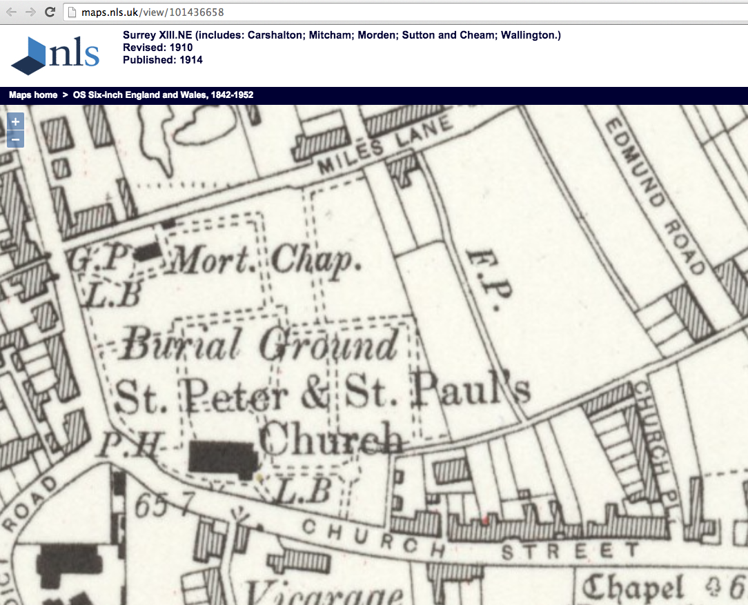
1910 OS map, reuse CC-BY. The Distillery was W.J. Bush. Batsworth Road today continues to Belgrave Road across where the distillery was.
The connecting road to the south of the distillery was also Batsworth Road as shown in this 1952 OS map:

1952 OS map, reuse CC-BY.
E.N. Montague in ‘Mitcham Histories: 8 Phipps Bridge‘, page 12, says that the Batsworth name can be traced back to the 13th century as the name of an enclosure of land. ‘Long’ and ‘Short’ Batsworth fields are mentioned in the sale of the estate of James Moore in 1852. They were part of the ‘Blacklands’ near Phipps Bridge, the colour alluding to the richness of the soil.
Morning Herald (London) – Monday 09 August 1852

Image is in the public domain.
MITCHAM, Surrey.
— To CAPITALISTS, MARKET GARDENERS, MEDICAL HERB GROWERS, AGRICULTURISTS, and Others.
— Valuable FREEHOLD and COPYHOLD PROPERTIES, nearly all Land-tax free, comprising the Second Portion of the Estates of the late James Moore, Esq. MESSRS. CRAWTER are favoured with instructions by the Devisee in Trust for Sale to OFFER by AUCTION, at Garraway’s Coffee-house, Change-alley, Cornhill, London, on WEDNESDAY. August 11 next, and following Day, at One precisely each day, in Forty-one convenient Lots (giving votes for the county), consisting of about 71 acres of very superior FREEHOLD and COPYHOLD LANDS and PREMISES, situate dispersed in the parish, lying near the Church, and in Church-street, and on the high road from Mitcham to Morden ; also in Blacklands Fields, near Phipps Bridge, Long and Short Batsworth, Half Furlong, East Fields, &c., all accommodation land of first-rate quality, and in a high state of cultivation, capable of growing crops of every description, but particularly adapted for growth of medical herbs — (for which the lands were used by the late proprietor) and market garden crops, for which the locality has been long noted, with several eligible building frontages, in a healthy, populous, and improving neighbourhood, surrounded by and adjoining to good roads, only eight miles from London and three from Croydon market-town, with a prospect of railway communication in the ensuing year, and the right to enfranchise the copyholds. N.B. Possession can be had at Christmas next.
Particulars can be had of T. E. PENFOLD, Esq., Solicitor, 42, Mecklenburgh-square ; at Garraway’s ; at the King’s Head and Buck’s Head, Mitcham; the Greyhound and Cock Inns, Sutton; principal Inns at Tooting, Merton, Carshalton, Epsom, and Croydon; and of Messrs. CRAWTER, Surveyors, Land Agents, &c,, 7, Southampton-buildings, Chancery-lane, and Cobham, Surrey. A competent person will be employed to show the lands.
Factories
Cock Chimney Factory
Photos on Merton Memories
Newspaper Articles etc.
Road stopping up order in the London Gazette Publication date:12 May 1988 Issue:51331 Page:5634
1960 : Explosion showers acid over homes
1928 : Pigs starved to death
1915 : Swine fever outbreak
The name Batsworth derives from Batti’s Farm, according to the English Place Name Survey.
Maps are reproduced with the permission of the National Library of Scotland.