Road that runs northwards off of the north side of Lower Green West.
The houses were probably built in 1929 or later by Isaac Wilson. The title deeds for one of the houses up for auction in February 2017 show that he bought the land on 10th November, 1928.
A Conveyance of the land in this title and other land dated 10 November 1928 made between (1) The Revd. Charles Aubrey Finch (the Incumbent) (2) The Governors of the Bounty of Queen Anne for the Augmentation of the Maintenance of the Poor Clergy (3) Cyril Forster Bishop of Southwark (4) The Revd. Alard Charles De Bourvel (5) Randall Thomas Archbishop of Canterbury and (6) Isaac Henry Wilson (Purchaser)
On this 1867 OS map a path is shown across ‘glebe’ fields to the Glebelands house. These fields had been bought in the 18th century using the Queen Anne’s Bounty, which was a scheme for providing an income to the local clergy.

1867 OS map
This 1910 OS map shows a road called Glebe Path, the row of houses on the left in Lower Green West is Preshaw Crescent, and the separate houses on the right were called Glebe Villas.
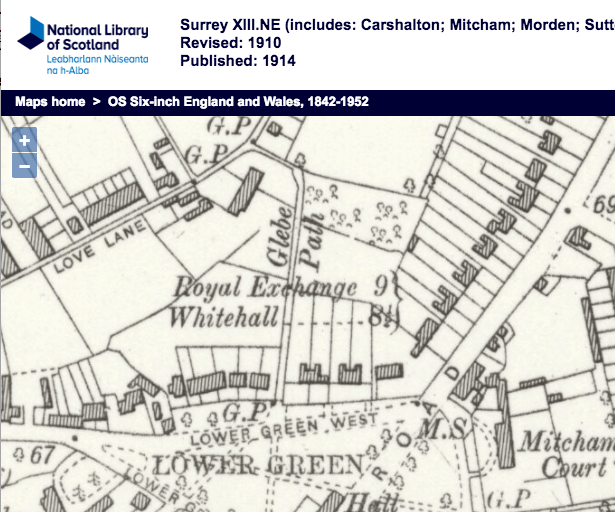
1910 OS map
The OS map for 1953 shows the houses in this road. On the western, left hand side, going north, is a detached house, then a pair of houses before the junction with Russell Road which runs westward. North of Russell Road is a terrace of eight houses. On the eastern, or right hand side, the map shows a terrace of seven houses north of the junction with Russell Road opposite. At the north end of Glebe Path, the road turns right into Queen Annes Gardens.

1953 OS Map
Aerial photos
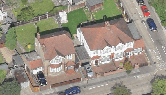
west side
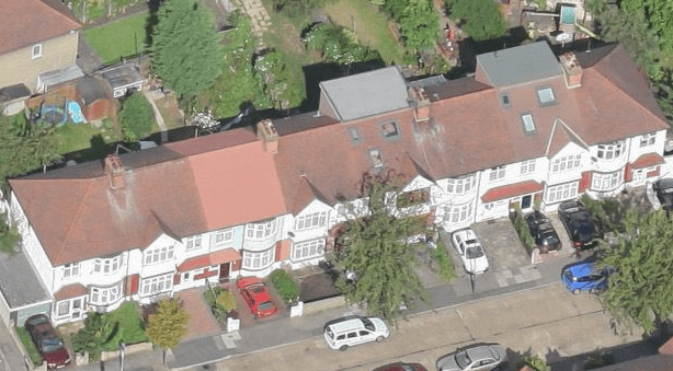
west side after Russell Road
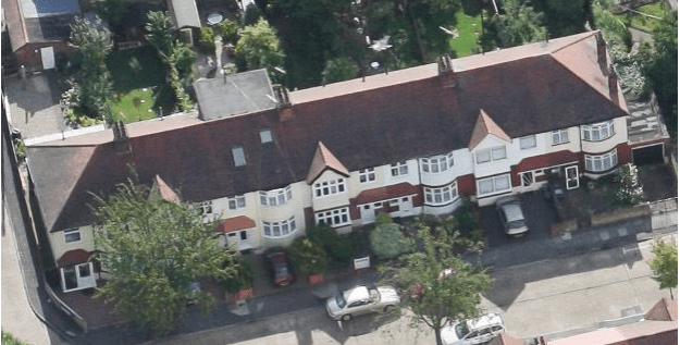
east side
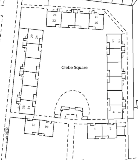
After the old people’s housing of Glebe Square had been built, an attempt in 1960 to renumber all the properties in Glebe Path was made by Mitcham Council, but the homeowners in the road protested. See Seven Defy The Council.
Maps are reproduced with the permission of the National Library of Scotland.