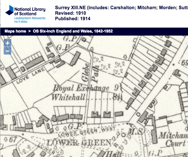
Cul-de-sac road that runs eastward from the north end of Glebe Path. Possibly built in 1928/9 as first mentioned in electoral registers of 1930.
Presumably named after the Queen Anne’s Bounty that bought land in this area as ‘glebes’: a source of income to support the local clergy.
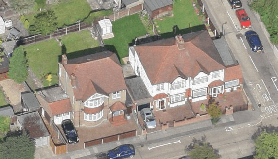
In this 1953 OS map, the shaded area to the right hand side of number 14 was a pair of garages.

1953 OS map
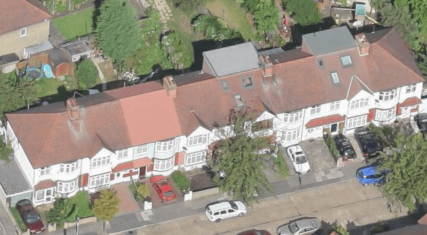
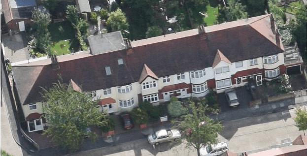
Houses are arranged in three terraces, two on the north side, numbers 1 to 13 and 15 to 27, and one on the south side, numbered 2 to 16.
Number 16 at the eastern end of the south side was added in 2010, on land that was occupied by the garages at the side of number 14, according to planning permission 10/P0102.
Number 27, at the eastern end of the road on the north side, was split into two properties, numbered 27 and 27A, in 1983/4, according to planning permission MER771/83.
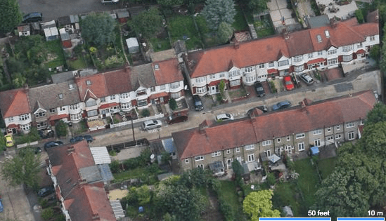
Aerial view of Queen Annes Gardens, numbers (from left to right) 1 to 27, looking to the north.

Aerial view, looking southwards, south side of Queen Annes Gardens, numbers (from right to left) 2 to 16.
According to tree planning applications 10/T2775 and 13/T1448, number 9 has a eucalyptus tree in its rear garden.
Occupants in 1930 from the Electoral Register
1, Charles Thomas and Alice Jane ALEXANDER; John and Alice Beatrice KING
3, Robert Henry and Mary Sophie SIMS
5, Arthur Ernest and Frances Lilian NEIL; Ellen Julia KETTLE
7, Henry John, Florence Annie and Beatrice Minnie SIMPSON
9, Herbert John and Alice SMITH
11, John and Edith Maude BUTTERS
13, Ernest William and Gertrude Florence STONE
15, Harold Sydney and Gladys Victoria HAMMOND
17, Victor John Bertha and Charlotte KING
19, Amelia BINNS; Ellen HATCHER; Robert ROBERTSON
21, Stephen Daniel and Mary Ellen HIGGINS; Michael DONOVAN; Soloman BECKETT; Thomas O’DWYER
23, William Henry and Pansy Grace FULLBROOK
25, Michael Thomas and Margaret Ada COLLINS
27, Albert, Emily and Maud SIMMONDS
2, Frederick Ernest and Kate Eva HOLLAMBY
4, Robert Albert and Ada Elizabeth GREEN
6, William Horace and Elizabeth Phoebe TEASDALE
8, Henry Herman and Grace Eveline BENSBERG; James and Emma SATCHELL
10, Robert and Amy LEWIS; Albert HEPPER
12, Arthur James and May Beatrice ANGUS
14, Augusta CRAMPTON
Maps are reproduced with the permission of the National Library of Scotland.