Waterloo Place was a row of 3 houses on the west side of London Road, opposite Figges Marsh. Possibly demolished in the 1990s. Part of the Figges Marsh Garage can be seen in the left of this 1974 photo.
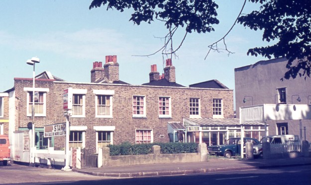
1974 Eric Montague photo, reproduced by kind permission of the Merton Historical Society
The 1912 street directory lists the properties from north to south:
Here is Crusoe Road …
Thomas TAYLOR (Carlingford)
F. & G. MIZEN, market gardeners
John ELMER
Mrs Ruth PARRISH, tobacconistManor View:
6, Mrs KILLICK
5, Henry HISTED
4, James GARDNER
3, Edward TANNER
2, William J MEECH, confectioner
1, Mrs George TAYLOR, poultry dealerWaterloo Place:
1, Figg’s Marsh hand laundry
2, William HARRISON
3, William LAMBEllis JEEVES, carman (2 Thanet cottages)
David GODDARD (2 Poplar cottages)
Herbert DODD, carpenter (1 Poplar cottages)
Edward FULLER, florist (The Poplars)Eveline Villas:
The OS map of 1911 shows a single house on the south side of Crusoe Road at the corner of London Road, and this may have been Carlingford. Then there are no buildings until Tamworth Farm, in occupation by F & G Mizen. Then there are two separate buildings, presumed to be John Elmer and Mrs Ruth Parrish.
Then there are 3 pairs of houses, and this is assumed to be Manor View, which are numbered 6 down to 1. South of this is a row of 3 houses, and this is assumed to be Waterloo Place.
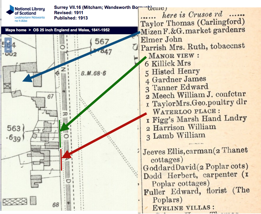
Combined OS map of 1911 and the street directory of 1912
From the British Newspaper Archive
This auction notice shows the houses to be leasehold.
Morning Herald (London) – Thursday 27 May 1847
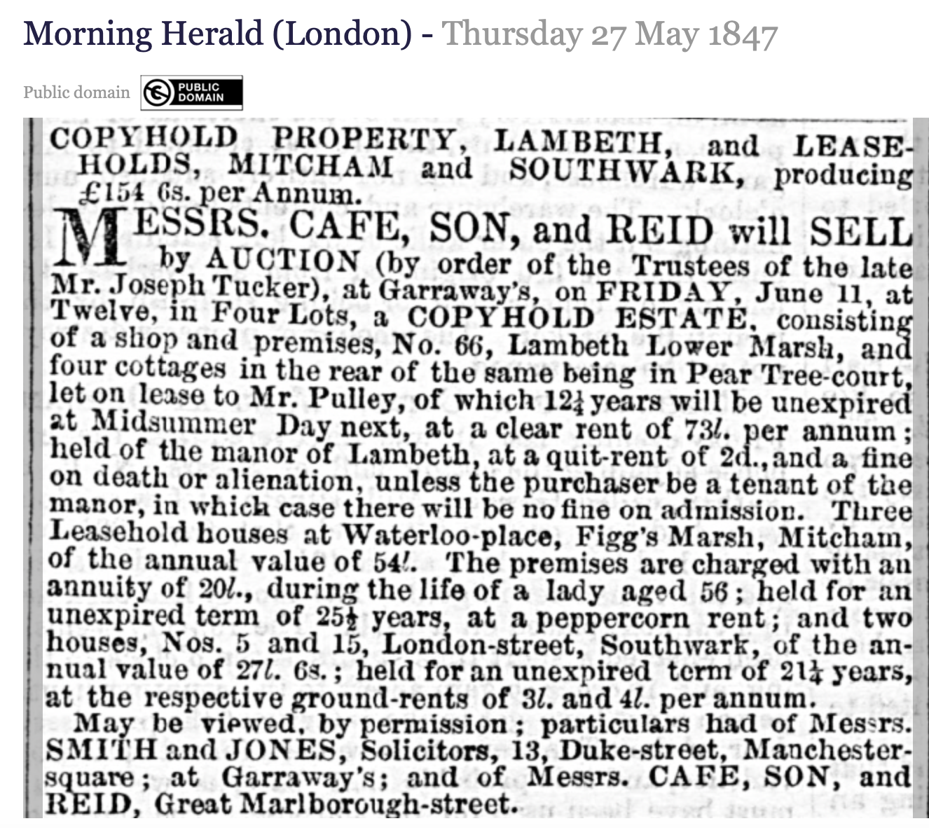
Morning Herald (London) – Thursday 27 May 1847